

EDITOR’S NOTE: Any and all wonky stuff, methodology and data sources are located at the bottom of this article.
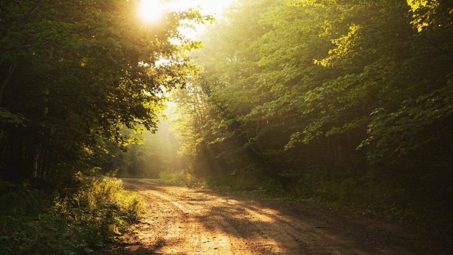
America has a long-held fascination with dirt roads.
Dirt roads have been the subject of poetry, film and seemingly every third or fourth country song on the radio. You have Dirt Road Diary, Dirt Road Dancing, Dirt Road Dollars, Down This Dirt Road, Dirt Road Anthem, Red Dirt Road, Dirt Road Romance, Dirt Road Heartache, Dirt Road Communion, Dirt Road Kid, Dirt Road Prayer, Dirt Road Anthem and multiple country songs titled simply Dirt Road, just to name a few.
Yet to be recorded, however, are Dirt Road Monologue, Dirt Road Dialogue, as well as Dirt Road Group Discussion.
Give it time, though.
Dirt roads, of course, represent different things to different people, but they’re most often viewed as an escapism, representing a simpler life, solace in solitude, as well as a connection to nature.
Most of Georgia’s history has been spent as an agrarian economy based on farming. Where there are farms, of course, there are dirt roads. Included in this ranking list are the 20 Georgia counties with the highest “percentage of unpaved roads per mileage.” All 20 counties are located below the Fall Line and well below Interstate 20, the stretch of road that unofficially separates “North Georgia” from the rest of the state.
Most of the counties on the list generally would be considered “Southeast Georgia,” and one-quarter of the counties are located within a 50-mile radius of each other in southeast Georgia – Appling, Bacon, Jeff Davis, Pierce and Wayne. As you can imagine, every county on the list is rural. Half have a population of less than 10,000. Only Coffee County (43,273) and Wayne County (29,927) rank above the 50th percentile, in terms of county population in Georgia.
Below are the “most dirt road” counties in Georgia:
1. Brantley - 63.6%
• Vitals and randoms: Southeast Georgia / 19,109 people / Satilla River
2. Bacon - 58.9%
• Vitals and randoms: Southeast Georgia / 11,164 people / Blueberry Festival
3. Appling - 57.6%
• Vitals and randoms: Southeast Georgia / 18,386 people / Altamaha River
4. Pierce - 56.6%
• Vitals and randoms: Southeast Georgia / 19,465 people / Okefenokee Swamp
5. Berrien - 55.2%
• Vitals and randoms: South Georgia, just east of Interstate 75 / 11,164 people / peanut fields and cotton patches everywhere
6. Wilcox - 53.7%
• Vitals and randoms: Middle Georgia or South Georgia (depending on who you ask / 8,635 people / Also peanut fields and cotton patches everywhere
7. Clinch - 52.0%
• Vitals and randoms: Southeast Georgia / 6,618 people / Okefenokee Swamp
8. Long - 51.8%
• Vitals and randoms: Southeast Georgia / 20,304 people / Close to Fort Stewart and closer to the coast
9. Atkinson - 51.5%
• Vitals and randoms: South Georgia / 8,165 people / Way more pine trees than people
10. Jeff Davis - 51.2%
• Vitals and randoms: South Georgia / 15,115 people / See nearly every other county on this list
11. Wayne - 51.1%
• Vitals and randoms: Southeast Georgia / 29,927 people / Jesup
12. Tattnall - 50.8%
• Vitals and randoms: Southeast Georgia / 25,286 people / Vidalia onion country
13. Coffee - 50.0%
• Vitals and randoms: South Georgia / 43,273 people / Coffee Fest a very underrated festival
14. Baker - 49.6%
• Vitals and randoms: Southwest Georgia / 3,038 people / the fourth-smallest county in Georgia
15. Irwin - 49.5%
• Vitals and randoms: Southeast Georgia / 9,416 people / Has wiregrass everywhere
16. Miller - 49.1%
• Vitals and randoms: Southwest Georgia / 5,757 people / The only Southwest Georgia county on the list
17. Emanuel - 49.0%
• Vitals and randoms: East Georgia or Middle Georgia (depending on who you ask) / 22,426 people / Has two different public high schools for some reason, and they’re both really small and really good at football
18. Lanier - 48.8%
• Vitals and randoms: South Georgia / 10,423 people / named after poet Sidney Lanier
19. Candler - 48.6%
• Vitals and randoms: South Georgia / 10,981 people / Home of the famous “Everything is better in Metter” sign
20. Turner - 48.3%
• Vitals and randoms: South Georgia / 9,006 people / Interstate 75 runs smack dab through the middle of it
Also, for whatever it’s worth, eight Georgia counties have clock in at less than 1 percent in the “percent of unpaved road mileage” category. Those are:
- Gwinnett
- Whitfield
- Muscogee
- Clayton
- Cobb
- Catoosa
- Cobb
- Dekalb
On this second list, though, “unpaved roads” are way more likely to mean gravel roads, as opposed to good old-fashioned red dirt roads.
Catoosa and Whitfield, both in north Georgia along Interstate 75, are the only counties on the list with a population south of 200,000, while Muscogee (Columbus) is the only county on the list south of Interstate 20.
Not seeing Fulton County on the list may seem counterintuitive. Believe it or not, however, unpaved roads in Fulton County do exist, although in gravel form. Apparently, at some point, someone really got into gravel roads and decided to dedicate an entire website to the subject. Included on the website is a way-too-detailed list of gravel roads in Atlanta, which can be viewed HERE.
•• County population estimates are based on 2020 Census Data // Primary data sourced from the Georgia Department of Transportation (2021, most recent year available)